Polar Vortex Weakening Brings Cold Air Masses into Europe
A sudden and unexpected weakening of the polar vortex has brought cold air masses into Europe, threatening a prolonged period of snowy weather for the UK and other parts of Western Europe....
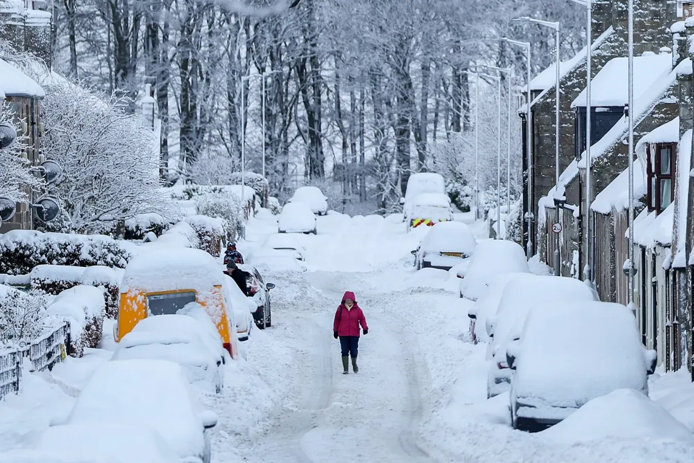
A sudden and unexpected weakening of the polar vortex has brought cold air masses into Europe, threatening a prolonged period of snowy weather for the UK and other parts of Western Europe. The phenomenon is rare, occurring every few years but usually not until later in the winter season.
The polar vortex, a high-altitude circulation pattern that keeps cold air locked over the Arctic, typically reaches its peak strength during the winter months before gradually weakening as spring approaches. However, in recent weeks it has shown signs of unusual instability and has begun to break down earlier than expected.
Some climate scientists are pointing to the record super El Niño event as a possible cause for the polar vortex's early breakdown. This extreme warming of surface waters in the tropical Pacific Ocean has already had significant impacts on global weather patterns, including heavy rainfall and droughts in various regions.
The weakening of the polar vortex is expected to allow cold air from the Arctic to flow southwards into Europe, potentially bringing prolonged periods of wintry weather to the UK and other parts of Western Europe.
Weather balloon records show that this year's polar vortex breakdown is occurring 18 days earlier than any previous recorded instance since the 1950s.
While some scientists attribute the early breakdown to mere atmospheric fluctuations, others suggest a possible link between the strong El Niño event and the accelerated weakening of the polar vortex.
Adam Scaife at the Met Office notes that an influence from El Niño is likely present in this phenomenon, but he cautions that it's not yet proven.
The process begins when trade winds, weakened by El Niño, allow warm water to flow back towards the eastern Pacific, creating a low-pressure system of rising air that moves eastwards with it.
The wave-like disturbance associated with El Niño can propagate upwards from the jet stream into the stratosphere, where it interacts with the polar vortex.
In this upper atmosphere, the air is thinner and the wave's amplitude grows until it collides with the polar vortex like a powerful wave crashing onto a shoreline, according to Scaife.
The momentum carried by these waves in an easterly direction can disrupt the westerly flow of the polar vortex, causing it to be pushed against its natural path and weakened in the process.
A high-pressure system has developed over Scandinavia in recent weeks, blocking the jet stream and creating large meanders that could have contributed to the breakdown of the polar vortex through a similar wave-breaking mechanism.
A high-pressure system has been dominating Scandinavia in recent weeks, blocking the jet stream and creating large meanders that could have contributed to the breakdown of the polar vortex through a similar wave-breaking mechanism.
As atmospheric pressure increases over the north pole due to the influx of high-level air, temperatures rise, much like how inflating a bike tyre warms it up. This warming event is also known as a sudden stratospheric warming event, where winds weaken and allow cold surface-level air from the Arctic to descend into northern Europe.
The polar vortex breakdown could lead to more severe winter weather in the coming weeks, with cold easterlies increasing the risk of blizzards and snowfall. The phenomenon has been linked to previous extreme cold snaps, such as the "Beast from the East" in 2018 that brought devastating blizzards to the UK.
Facts based on reporting originally published by New Scientist.
You may republish this story, in full or in part, if you credit News Central Site and link to it (licence CC BY 4.0). Photos are not included.