Flood Risk Assessments Combine Hazard and Social Vulnerability Data
A recent study has combined flood risk assessments with social vulnerability and exposure data to better understand who is most at risk in urban areas during heavy rainfall events.
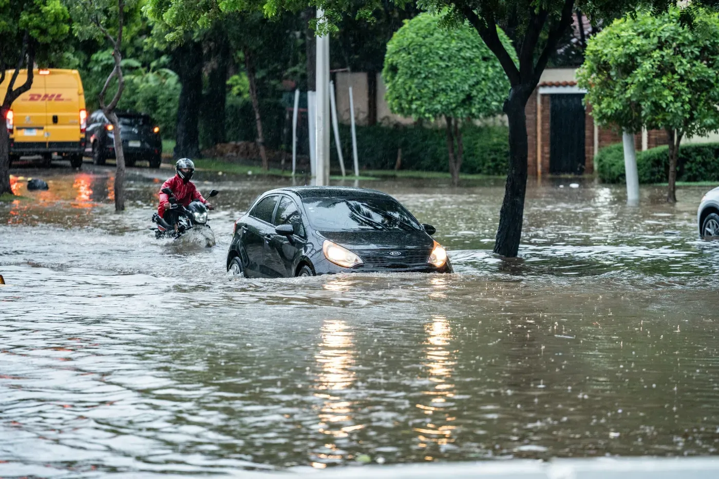
Heavy rainfall events pose significant challenges to urban areas worldwide, but understanding who is most at risk in these situations requires more than just analyzing flood hazards alone. A recent study has shed light on this issue by combining flood risk assessments with social vulnerability and exposure data.
The research, led by Malte von Szombathely from the University of Hamburg, presents a comprehensive framework for evaluating urban flood risk. By integrating multiple factors, including flood hazard, population density, and socioeconomic conditions, the team aimed to provide a more nuanced understanding of the potential consequences of flooding.
Flood hazards do not always coincide with areas of high social vulnerability, according to the study's findings. A map highlighting flood-prone areas cannot alone identify those who are most at risk. This highlights the importance of considering both exposure and social vulnerability when assessing flood risk.
The researchers used a 100-year rainfall scenario to model potential flooding patterns in an urban area. They mapped risk at the scale of individual buildings, revealing local hotspots and inequalities that broader maps might overlook. Even within the same neighborhood, the consequences of flooding can vary significantly.
These small-scale patterns help identify areas where a more detailed assessment may be necessary. By considering both flood hazard and social vulnerability, policymakers and emergency responders can better target their efforts to support those most affected by flooding.
The study's framework provides a valuable tool for urban planners and policymakers seeking to mitigate the impacts of flooding on communities.
The framework developed by researchers assesses flood risk in two distinct ways. One index evaluates the potential harm to people and property, while another examines restrictions on movement and access during a flood event.
Social conditions play a crucial role in determining vulnerability to flooding. Indicators such as age, income, and education are used to identify areas where social vulnerability may exacerbate flood exposure. By incorporating these factors into the analysis, planners can better target their efforts at protecting vulnerable populations.
The study's approach allows cities to pinpoint hotspots of risk and understand the underlying drivers of vulnerability. This information is essential for informing priorities in flood-resilient infrastructure development, community preparedness, and social support initiatives.
The framework's reliance on freely available data makes it highly adaptable for use in other cities. Its potential application elsewhere requires minimal adjustments to accommodate local conditions and input from city administrators and planners.
Researchers have documented the underlying methods and assumptions used in the study in a peer-reviewed article led by Anastasia Vogelbacher from the Hamburg University of Technology, which was published earlier this year.
The study provides a framework for cities to prepare for flooding by combining information about water with data on the people who may be affected.
This integrated approach can help prioritize resources and attention in areas where they are most needed, ultimately leading to more effective flood risk management strategies.
By providing a detailed picture of flood risk at a high resolution, the study offers city planners a valuable tool for making informed decisions about resource allocation.
Facts based on reporting originally published by Phys.org.
You may republish this story, in full or in part, if you credit News Central Site and link to it (licence CC BY 4.0). Photos are not included.