GPS and Other Satellite Navigation Systems Make Up the Global Navigation Satellite System
Global Navigation Satellite Systems like GPS provide autonomous geospatial positioning using satellite navigation.
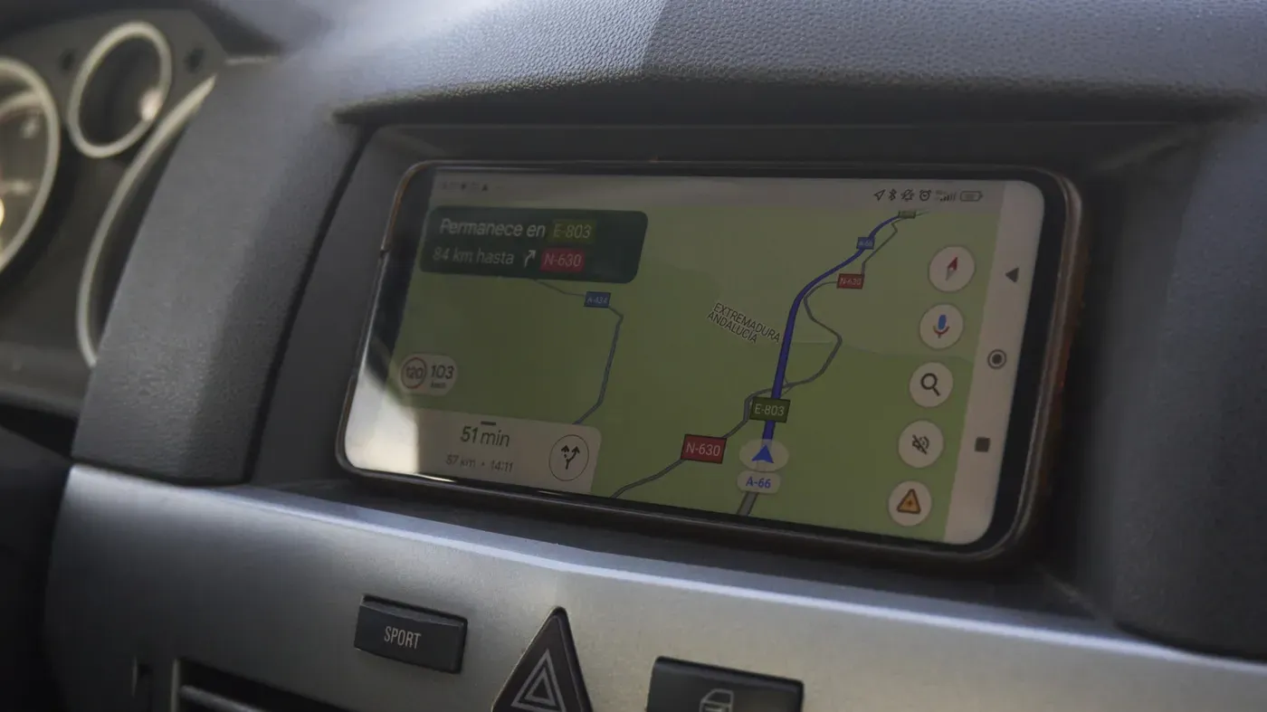
The location services on your phone are often associated with GPS, but it's not the only game in town when it comes to satellite navigation systems. In fact, there's a broader term that encompasses multiple systems: GNSS, or Global Navigation Satellite System.
GNSS is a broad category of satellite navigation systems that provide autonomous geospatial positioning, allowing devices to determine their location and orientation with varying degrees of accuracy. The most well-known example of a GNSS system is the one operated by the United States, commonly referred to as GPS.
However, GPS is just one part of the larger GNSS family. Other major players include Russia's GLONASS, the European Union's Galileo, India's NavIC and China's BeiDou. These systems are not limited to their respective countries and can be used worldwide. For instance, GPS works globally, as do the systems operated by Russia, the EU and China.
The term "GPS has become synonymous with any satellite-based location service due to its widespread adoption and recognition. As a result, device manufacturers often use GNSS-capable to indicate that their products can utilize multiple satellite navigation systems beyond just GPS.
When looking at a device's spec sheet, the mention of GNSS capability suggests that it can tap into various satellite navigation systems, not just the US-based GPS network. This is particularly relevant for devices used in regions with limited or no access to GPS signals, where alternative systems like GLONASS or Galileo may be more readily available.
Most modern smartphones use multi-constellation GNSS receivers to determine their location, not just GPS. This is because GNSS stands for Global Navigation Satellite System, which encompasses multiple satellite systems including GPS, GLONASS, and Galileo.
Devices like the iPhone 17, for instance, list precision dual-frequency GPS" but also specify support for other satellite systems. This is likely because having access to more satellites means a more reliable positioning system, especially in areas where signals are weak or blocked by terrain.
The Location Accuracy service on Android phones takes this approach even further by combining data from multiple sources. Satellite data is used alongside information from nearby Wi-Fi networks and cell phone towers, as well as the device's built-in motion sensors.
This multi-faceted approach to location determination is often hidden beneath the GPS umbrella, making it seem like a single system rather than a complex network of tools working together. This can be seen in how Google Maps uses a combination of satellite data, internet-delivered map information, and local signals from Wi-Fi and cellular networks.
Google's mapping app can provide accurate location information even when satellite reception is weak or non-existent, thanks to its reliance on these multiple sources of data. As a result, many people have an accurate location mapper at their fingertips, whether they're using Google Maps in the middle of a grocery store or navigating through heavy traffic.
When using navigation apps or location services on our smartphones, we often rely on a combination of satellite signals and other data sources to determine our exact position. This is because satellites alone are not always sufficient, especially when indoors or in areas with limited signal reception.
In these situations, it may take an extra moment for your phone to update its location after you leave a building or area with weak signal strength. This brief delay occurs as the device reacquires and verifies satellite signals to ensure accuracy.
Despite GPS being the most widely recognized term, GNSS is actually a more accurate description of the technology used in smartphones, cars, drones, and other navigation devices worldwide.
Facts based on reporting originally published by Engadget.
You may republish this story, in full or in part, if you credit News Central Site and link to it (licence CC BY 4.0). Photos are not included.