Satellite Technology Proves Valuable in Monitoring Europe's Forests and Green Spaces
A team of researchers from the University of Florence conducted an extensive mapping project, analyzing vegetation across 28 European capitals at a resolution of 10 meters.
Europe's forests and urban green spaces are facing unprecedented pressure from climate change, droughts, invasive pests, and frequent disturbances. As these ecosystems rapidly transform, it's becoming increasingly difficult for ground surveys to keep pace. To effectively protect them, experts need a comprehensive understanding of their state at every scale.
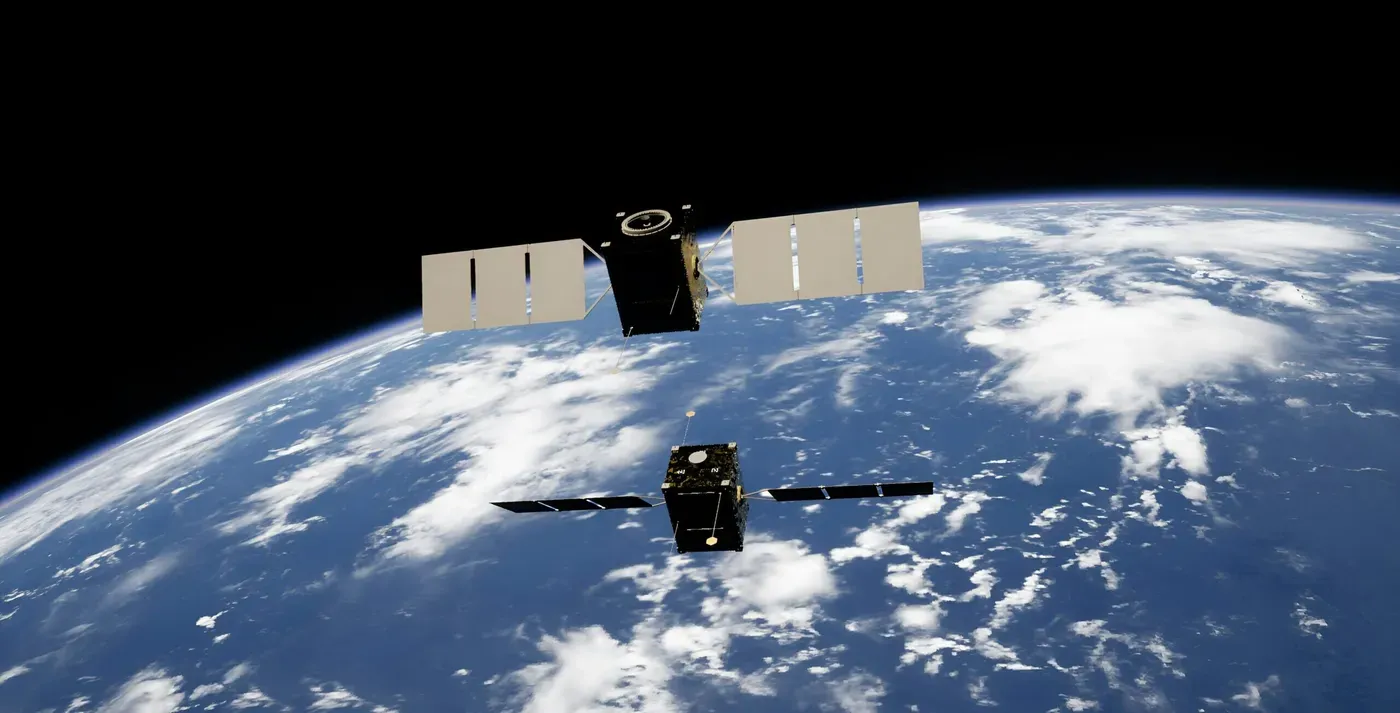
The solution lies in Earth observation, which has become an essential tool for monitoring Europe's forests and green areas. Four recent studies demonstrate the significance of satellite technology in this endeavor. By leveraging the capabilities of satellites, researchers can now analyze forest health and urban green spaces with unprecedented precision.
Satellites have proven to be a valuable asset in observing Europe's forests and green spaces. However, their capabilities are often misunderstood. One study highlights the limitations of using vegetation coverage as a measure of a city's greenness. This finding has significant implications for urban planning and conservation efforts.
A team of researchers from the University of Florence conducted an extensive mapping project, analyzing vegetation across 28 European capitals at a resolution of 10 meters. Their findings suggest that relying solely on green space coverage can be misleading.
The study, published in Landscape Ecology, used graph theory to analyze the connectivity of urban green spaces. This innovative approach provides a more nuanced understanding of how much greenery is actually present in a city. The results of this research have significant implications for conservation efforts and highlight the importance of satellite-based monitoring in Europe's forests and green areas.
Urban planners can now gain a more comprehensive understanding of their city's green spaces by using satellite imaging technology.
According to Giovanni D'Amico, co-author of the study, satellites allow us to view urban parks and gardens as interconnected components rather than isolated entities.
This holistic approach enables planners to identify areas where ecological connectivity is lacking and pinpoint strategic locations for interventions that can strengthen the resilience of urban nature.
By doing so, they can create a more cohesive and functional green network within their city.
The impact of disturbances on Europe's forests is a pressing concern, with satellite observations providing valuable insights into changes in vegetation condition and the progression of infestations.
A key factor driving these disturbances is the spread of pests through contagion, particularly among pines that are situated close to existing outbreaks where their canopies are under stress. This has significant implications for forest management strategies, as it highlights the need to prioritize field inspections and targeted interventions in areas with high exposure risk.
The sheer scale of the issue raises important questions about which forests are most vulnerable to disturbances. For instance, does a single outbreak on one coastline pose a continental threat, potentially affecting multiple regions across Europe?
By combining decades of satellite data with information on forest age and tree species, researchers have shed light on a disturbing trend: disturbances are not only increasing in frequency but also becoming more selective in their impact, disproportionately targeting older, carbon-rich forests that are often most valuable for environmental and ecological reasons.
Europe's oldest and densest forests are increasingly being ravaged by disturbances such as bark beetle outbreaks, threatening to weaken the continent's carbon sink.
These forests hold an outsized share of Europe's carbon, making their loss a significant concern for climate ambitions. Researchers warn that if the trend continues, natural disturbances could expose carbon equivalent to around 20% of Europe's forest carbon sink by 2040.
The damage is not only happening more frequently but also becoming more targeted, with dense and carbon-rich stands being hit hardest. This selective targeting has far-reaching consequences for the continent's ability to meet its climate goals.
Disturbed forest patches remain significantly warmer than intact forests, with average temperatures staying 1.70°C higher for years after a disturbance event.
The findings of four recent studies suggest that Earth observation has become a crucial tool in understanding and protecting Europe's forests. By leveraging satellite data, researchers can map forest cover, monitor emerging threats, quantify risks, and measure effects that are invisible to the human eye.
This infrastructure enables policymakers to make informed decisions about forest management, but it also raises questions about what satellites can reveal or prevent that is currently beyond our reach. The researchers behind these studies now want to know how far satellite monitoring can go in preventing or mitigating the impacts of natural disturbances on European forests.
Several recent studies have highlighted the importance of building thermal resilience into European forest policy. Limiting large canopy openings and maintaining structural complexity within forests can help moderate post-disturbance warming, according to one researcher. This approach could potentially mitigate some of the effects of natural disturbances on Europe's mature and carbon-rich forests.
The four studies in question use different data sources and methods to evaluate the impacts of natural disturbances on European forests. By combining their findings, researchers aim to create a more comprehensive understanding of how Earth observation can support forest management and conservation efforts across the continent.
Researchers are working to integrate their findings on the capabilities of satellite imagery for forest monitoring across Europe.
Satellites can detect signs of deforestation and identify areas where forests are under threat due to human activities such as agriculture or urbanization. By analyzing these data, scientists hope to provide valuable insights that can inform conservation efforts and support sustainable land-use planning in the region. This information will be crucial for effective forest management and conservation initiatives.
Facts based on reporting originally published by Phys.org.
You may republish this story, in full or in part, if you credit News Central Site and link to it (licence CC BY 4.0). Photos are not included.